High‐quality remote sensing, in particular, mapping of the magnetic signature of the subsurface is critical to successful natural resource exploration. Today, such surveys are often carried out by helicopters or from ground. While helicopters are very expensive, logistically challenging and may exert a high impact on the local fauna, ground surveys are time consuming and incomplete. Hence, efficient exploration is hampered by the existing mapping methods. CMAGTRES is developing and testing new drone systems that are able to replace many of the traditional mapping methods. Our plan is to integrate magnetic, multispectral, Lidar, Photogrammetry and Gamma-ray drone-borne measurements in sophisticated 3D models of the subsurface. In April 2019, we went to the Nautanen area in Lapland (northern Sweden) to map a cobber-iron ore body together with BRGM and LTU. Next steps are campaigns in Britanny and northern Norway. Ultimately, our goal is to facilitate sustainable mineral exploration in Europe and, thereby, to make European companies less dependent on mineral supplies from outside Europe. For more information, see
MuVerDrone.

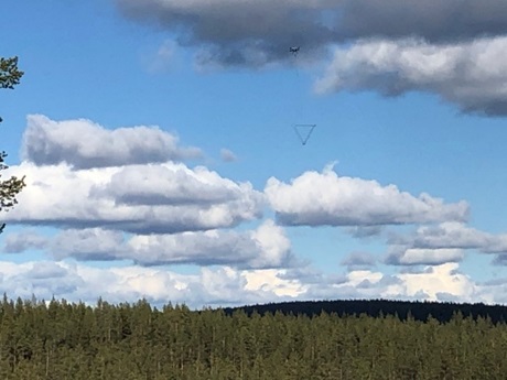
CMAGTRES magnetometer system mapping a cobber-iron ore body in the Nautanen area, Lapland (northern Sweden)